![]()
![]()
![]()
![]()
![]()
![]()
![]()
![]()
![]()
![]()
![]()
![]()
![]()
![]()
![]()
![]()

Úvod »* NAVIONICS» Navionics: Norsko (49XG) SD
Navionics: Norsko (49XG) SD
 SD")
Námořní mapy vektorové na SD kartě

Anotace
Vektrorové digitální mapy oblasti Norska (viz. výsek) pro použití v přístrojích podporujících systém Navionics. Dodáváno na paměťové microSD kartě.
Gold XL9 - Norway 49XG Navionics Charts
Pokrývaná oblast: Norway including Svalbard Islands, Shetland Islands, Sweden West from Strömstad to Varberg. Vättern, Vänern and Mjøsa Lakes
Nautical Charts
Essential cartographic reference detail, including data from public and private sources, as well as our own surveys. Easy-to-use, interactive display, allowing to consult port plans, select safety depth contours, access marine services phone numbers and other useful details.

Community Edits
Benefit from hundred of thousands of edits made by the Navionics Community viewable on select GPS chartplotters.

Freshest Data
Take advantage of daily updates. Download Freshest Data free for 12 months!

Updates
After 12 months update your Gold with Navionics Updates which upgrades you to Navionics+.

Compatibility

Ke stažení
Kupující rovněž zakoupili:
")
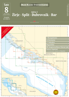
Naše cena 1 193,00 KČ (47,11 EUR)
")
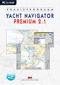
Naše cena 1 195,00 KČ (47,19 EUR)
")
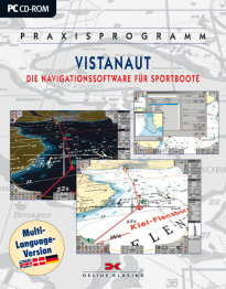
Naše cena 2 390,00 KČ (94,37 EUR)